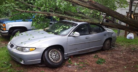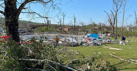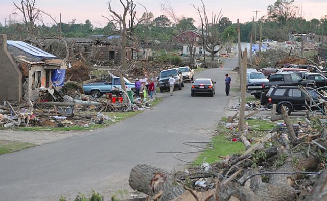
NASA released a new interactive web viewer this week that shows how Alabama’s natural landscape is recovering from the April 27, 2011 tornadoes. It’s built from Landsat satellite images taken of exactly the same spots over five years.
“You can still see signs of damage,” researcher Jordan Bell said Wednesday, “but the landscape is healing. You can see it starting to show signs of coming back.”
Bell spoke from the NASA team’s offices at the National Space Science Technology Center at the University of Alabama in Huntsville. He works there with Andrew Molthan, a research meteorologist with the Marshall Space Flight Center.
Landsat satellites pass over the same spots on the globe every 16 days. Scientists program them to take regular images for comparison over the course of months or years. Molthan said the National Weather Service has also joined with NASA to use satellites on a regular basis to help map the length and strength of tornadoes and more accurately track their paths.
In addition to the web viewer, the NASA researchers also posted a blog containing key images from the research commentary and a place for readers to interact with the team.
By Lee Roop | lroop@al.com
Email the author | Follow on Twitter
on April 27, 2016 at 4:10 PM, updated April 27, 2016 at 7:25 PM