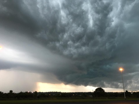
A humid Saturday afternoon transitioned into a dangerously stormy evening across the region as small thunderstorms began rotating, dropping one confirmed tornado outside of Scandia, in Warren County, as well as what may be a second touchdown just south of Grove City, in Mercer County.
Around 6:35 p.m., a confirmed tornado touched down near the rural town of Scandia, which sits in the northeast corner of Warren County.
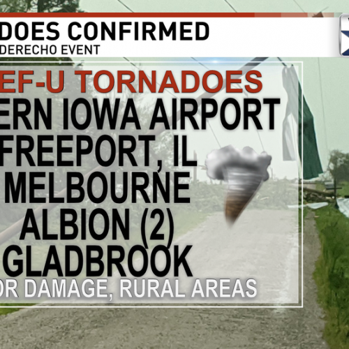
The tornado was confirmed by meteorologists at the State College National Weather Service (NWS) office, Sunday. This tornado was on the ground for about two miles, cutting a damaging path of about 40 yards in width.
A spokesperson for the State College NWS office said the tornado was categorized an EF1, with winds between 100-110 mph.
Most damage was done to trees, however, NWS forecasters said one pole barn was destroyed.
A short time later, tornado warnings were issued for areas in Butler, Clarion, Venango, and Armstrong counties.
In Butler County, a tornado was reported on the ground, 11 miles east of Slippery Rock, at 7:50 p.m., moving across the landscape at 30 mph. According to Pittsburgh’s CBS affiliate, that tornado was reported by local law enforcement.
According to a forecaster at the Pittsburgh NWS office, officials were still gathering information Sunday evening, and will possibly be conducting a survey of the area, sometime today.
Personnel at the Pittsburgh NWS office said they had not yet received reports of damage or injuries.
As those storms pushed north, two simultaneous tornado warnings were issued for areas in Venango County.
One of those storms passed narrowly south of Franklin while continuing to pass directly over sections of Oil City. This storm eventually lost its rotation and power, without doing any reported damage, according to the Pittsburgh NWS. The other, which had dropped the possible tornado near Slippery Rock, moved across the extreme southern border of Venango County and into Clarion County.
Closer to home, rotating storms were detected by radar.
Jim Kosarik, a meteorologist with the Cleveland NWS office, told The Herald on Sunday afternoon that there were “two weakly rotating storms in Crawford County,” but explained neither of which dropped tornadoes in the county.
Minor tree damage was reported across areas of the county.
One of those two storms would move on, to the northeast, to drop the confirmed EF1 twister near Scandia.
Kosarik said the convergence of a cold front and warm air brewed up the volatile weekend weather.
“Even though it wasn’t a hot day, the atmosphere was acting like it was summertime,” he said. “It was humid. There was a lot of available moisture. There was available sheer in the atmosphere,” which promotes rotating storms.
“It was just unstable enough, there were several different storms that exhibited rotation.”
Kosarik said that, while he and fellow meteorologists tracked the western Pennsylvania activity, there was a total of four individual storms that showed radar-indicated rotation.
While there are occasionally severe storm warnings and even tornado warnings as late as November, in northwest Pennsylvania, Saturday’s storms are still considered late for the traditional season.
“This is really late in the season,” Tom Atkins, a meteorologist at WJET-TV, in Erie, told The Herald Sunday evening. He added that, for the week ahead, the forecast looks almost unseasonably warm.
“This week looks warm and mainly dry,” he said, noting fall officially begins, Thursday, at 10:22 a.m., which “could be the warmest day of the week.”
By Joshua Sterling Herald Staff Writer
Sterling can be reached by email, at jsterling@titusvilleherald.com.
Posted: Monday, September 19, 2016 3:00 am