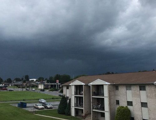
There is a chance for tornadoes on the Eastern Plains, said Eric Thaler, meteorologist for the National Weather Service in Boulder.
“The heavy duty stuff is a possibility, mostly on the plains, northeast between Greeley and Limon,” Thaler said. “Possibly a tornado.”
Overnight, a severe storm struck Washington County in northeast Colorado, dropping half-dollar-sized hail at 1:40 a.m. It was unusual, Thaler said.
Scattered pockets of severe weather will strike mainly between 2 p.m. and 4 p.m., according to the NWS.
There is a 30 percent chance for measurable amounts of rain in the Denver area in the afternoon. There is a 50 percent chance of rain in Fort Collins, Thaler said.
Wind gusts from the northeast could reach 24 mph in the afternoon. The high temperature on Tuesday could be 71 degrees.
On Wednesday it will be mostly sunny with a high near 73 degrees, according to the NWS. It will be breezy in the afternoon, but no rain is projected.
Afternoon rain thunderstorms are part of the weather forecast for the remainder of the week.
Temperatures are expected to drop to 67 degrees on Thursday and 63 on Friday, before a Memorial weekend warm up in which temperatures will rise back into the 70s.
There is a slight chance for rain showers and thunderstorms each afternoon between Saturday and Monday.
By Kirk Mitchell
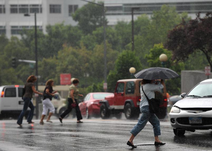
Picture: Pedestrians were caught off guard as a mid-afternoon thunderstorm dropped a large amount of water in a short amount of time June 11, 2009. — Helen H. Richardson, The Denver Post