MONONA, Iowa (KCRG) – A second tornado from storms that occurred on Thursday in northeast Iowa has been identified by officials.
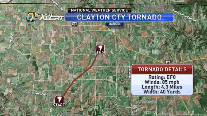
On Monday, the National Weather Service in La Crosse, Wis., surveyed the damage from a tornado that took place on Thursday, September 12. It identified that a tornado touched down at around 5:34 p.m. five miles west of Farmersburg, and continued to the northeast for 4.3 miles until 5:41 p.m.
The tornado track ended two miles southwest of Monona.
The tornado’s width measured 40 yards at its widest point and contained wind speeds of 85 mph. This places it as an EF-0 on the Enhanced Fujita Scale, which ranges from EF-0 at the weakest end to EF-5 for the most destructive storms.
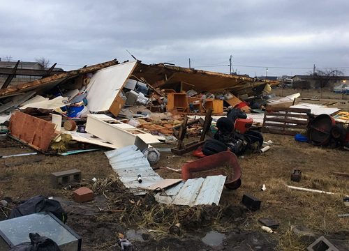
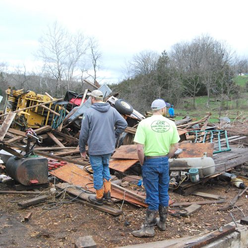
Surveyors with the Weather Service said that most of the damage was to cropland and trees, as well as a fence. They also found tree branches that penetrated the walls of a house along the tornado’s path.
Another tornado had already been surveyed by Weather Service officials near Ossian, occurring under an hour before this one.
by KCRG News Staff (2019, Sept 16)