Strong thunderstorms and at least one tornado interrupted the Easter weekend in KMAland.
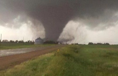
A classic supercell touched off severe weather throughout most of southwest Iowa, southeast Nebraska and northwest Missouri Saturday afternoon and evening. Activities began at around 5 p.m., when spotters reported a tornado one mile north of Dunbar in Otoe County.
“From that point for about 10 minutes,” said Otoe County Emergency Management Coordinator Greg Goebel, “we received–I want to say hundreds, but really not quite that many–phone calls from people who actually had pictures of it, who had taken pictures, taken video of it, seen it–all that fun stuff that goes along with it. It didn’t really move very fast. It tracked kind of east-northeast, and we had spotters with eyes on it pretty much the entire duration of the storm. Then, it dissipated like a tornado does, and we got a lot of rain and hail after that.”
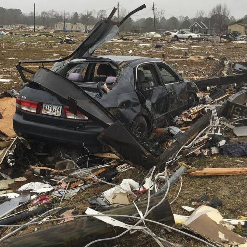
While saying the twister stayed on the ground for about 10 minutes, Goebel says the exact path hasn’t been determined. Amazingly, he says no storm damage has been discovered or reported thus far.
“We’ve had spotters out doing damage assessments,” he said. “We know basically where the tornado touched down, and the direction it went, but we’re having trouble finding damage.”
Goebel says conditions were ripe for severe weather.
“Our humidity kicked up pretty high,” said Goebel, “and the temperature was up there. Like I said, roughly around 4:30-4:45, a small garden variety storm started building, and out of nowhere, it dumped a tornado on us.”
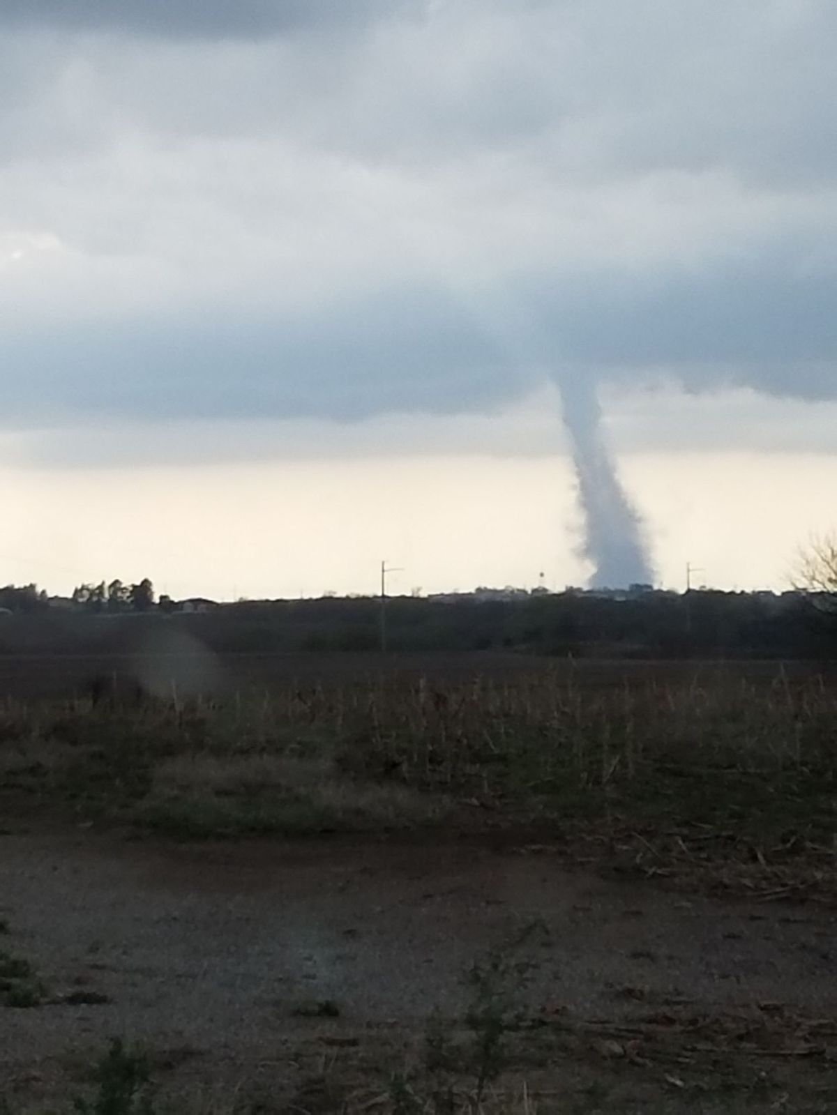
Marj Schierkolk and her nephew Caleb, both of Shenandoah, were driving home from the Nebraska Red-White Spring Game in Lincoln when they spotted the Otoe County tornado east of Syracuse on Highway 2.
“Our phones went off with a tornado alert,” said Schierkolk. “I wasn’t sure whether that was an alert for Shenandoah, or where we were. So, we called our relatives in Shenandoah, who said they were not in a tornado warning. My nephew was driving, so I turned around, and there it was right behind us.
“We had just gotten to an area where there was lots of road construction. So, people were trying to pull over because of the tornado warning, and, of course, seeing the tornado,” she added.
Schierkolk, who took pictures of the tornado, had one word to describe it.
“Intimidating,” said Schierkolk. “It was very wide, and then down towards the bottom, it was a little bit smaller. There was no question that it was a tornado. I’m not sure my nephew had never seen a tornado. But, he said he had never seen one that close. So, we had to take a few pictures, then get back into the car, and get going.”
Both Marj and Caleb returned to Shenandoah safely.
Atchison County residents sighted some interesting things in the air, as well. Tornado warnings were issued after funnel clouds were spotted near Rock Port, Tarkio and Westboro. Atchison County Emergency Management Coordinator Rhonda Wiley tells KMA News her county lucked out in terms of touchdowns.
“There were several different sightings,” said Wiley, “both from our responders and spotters that were out, as well as passersby on I-29 that reported seeing funnel clouds. We never had any reports of any touchdowns that I’m aware of as of yet. However, there were several funnels reported in the area, and even one picture that was sent to me from a funnel cloud just west for Westboro. They did activate the sirens in the Westboro area, as well.”
Wiley adds no damage has been reported from Saturday’s storm activity. Page County Communications officials say civil defense sirens sounded in Blanchard after a tornado touchdown was reported near that community, close to the Iowa/Missouri border. But again, no damage was reported.
by Mike Peterson
Apr 15, 2017