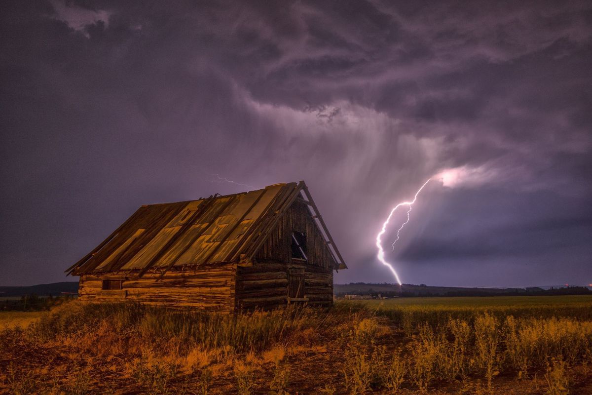
Thunderstorms moving through East Idaho on Sunday brought rain, hail and winds to the area, and caused multiple funnel clouds to develop.
Travis Wyatt, a meteorologist with the National Weather Service forecast office in Pocatello, said a funnel cloud formed south of Roberts around 4:40 p.m. and moved toward Fremont and Clark counties.
Two more formed around 6:45 p.m. and 7:35 p.m. They followed the same path, starting near Lava Hot Springs, moving toward Caribou County, clipping Bingham and Bonneville counties and then heading into Teton.
A fourth funnel cloud was reported around 8:20 p.m., when those two funnel clouds started to combine on the edge of the Wyoming border.
The funnel clouds prompted weather officials to issue multiple tornado and severe thunderstorm warnings as well as special weather alerts.
Although there were reports that funnel clouds near Teton County and McCammon touched down, which would make them tornadoes, officials with the weather service had not been able to verify that as of Monday afternoon.
“We have no definitive pictures or sightings,” Wyatt said, adding that images that captured the funnel clouds were both near mountains so it was hard to tell if they actually touched the ground.
Autum DeLand of McCammon believes the one near her hometown did touch down. She was driving into the area when she says she spotted funnel clouds developing near the mountains to the south toward Arimo around 7:20 p.m. She stopped to film the incident. Then she submitted the video to the Journal, and it does look like one of them is touching down.
Wyatt said it’s much easier to tell if tornadoes touched down when they move through inhabited areas and cause a lot of damage, but the remote areas can be more difficult to verify.
If anyone believes they know where a tornado touched down, he said they can call his office at 208-233-0137 to report the incident and they can some someone out to do a storm survey.
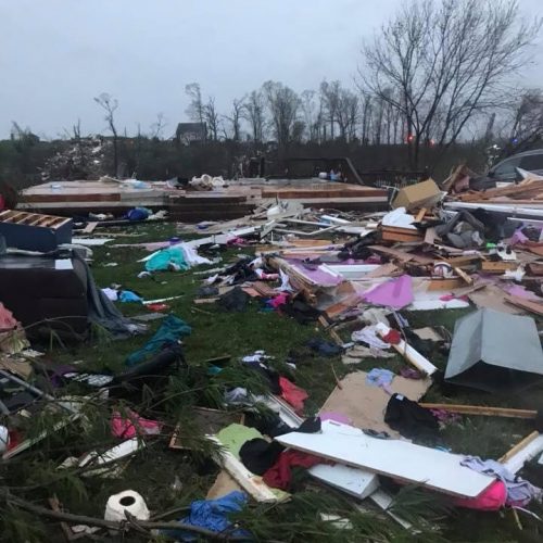
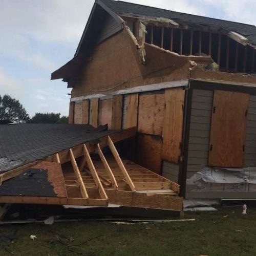
As of Monday afternoon, no significant damage had been reported following the storm, although trees were knocked down near Chester, Wyatt said. Hail up to 1-inch in size and winds up to 50 miles per hour were also reported in some areas.
Lightning strikes also led to power outages west of Chubbuck on Sunday afternoon and northwest of Blackfoot early Monday morning, according to Brad Bowlin, spokesperson for Idaho Power.
Rocky Mountain Power spokesperson Paul Murphy said there were also lightning-caused outages near St. Anthony and Rigby on Sunday evening.
East Idaho saw more rain on Monday and the weather service issued a wind and a winter-weather advisory calling for mountain snow.
The winter-weather advisory warned that mountain passes could become slushy and snow-covered.
Wyatt said people should monitor upcoming weather reports because more snow and some freezing temperatures, which could affect gardens, are possible this week.
By Kendra Evensen kevensen@journalnet.com
10/03/2016