A tornado that reached 120 mph Wednesday traveled 20 miles through Rolette and Towner counties before retreating back into the skies.
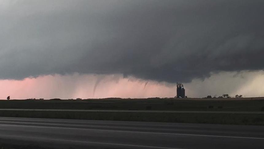
The National Weather Service classified the vortex as an EF2 tornado after it finished its assessment of damage Thursday. Documentation and eyewitness accounts depict the tornado as a multivortex storm that reached a width of 1,200 yards, according to the weather service.
A tornado of that size and width of impact isn’t unheard of but is not typical for North Dakota. The weather service usually sees a tornado like Wednesday’s every three to five years, said Greg Gust, warning coordination meteorologist for the Grand Forks weather service office.
The tornado touched down around 5:30 p.m. about 6 miles south of Mylo, N.D., a Rolette County town of roughly 20 people about 60 miles northwest of Devils Lake. From there, it traveled east to about 4 miles northeast of Arndt, N.D., where it dissipated around 6:25 p.m.
There were no injuries or fatalities reported.
The tornado was well-documented by storm spotters and chasers, with video and photos showing its scale. Though it was a large-scale event, the twister stayed loose with multiple smaller vortices wrapping around it to present a more open tornado instead of forming the traditional tight funnel typical of tornadoes, Gust said. Because of that, it did not reach the destructive potential of an EF3 or EF4 tornado.
Wednesday’s storm was similar to the destructive Northwood, N.D., tornado of 2007, which reached speeds of up to 170 mph and was up to 0.8 miles wide. That late-August storm tracked along a 40-mile path along southern Grand Forks and Polk counties, though it was likely not on the ground the entire time.
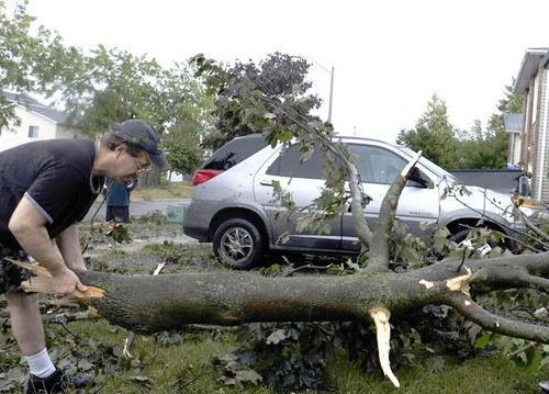
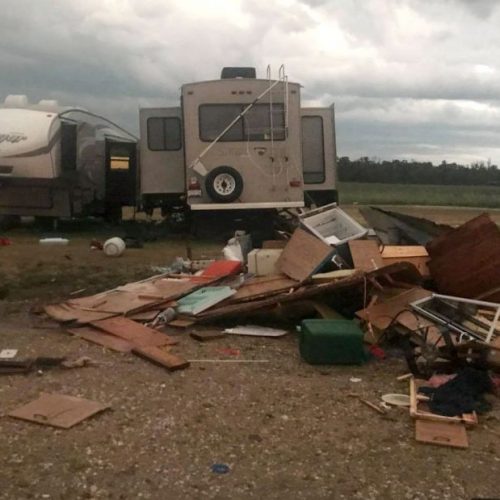
The damage done by Wednesday’s tornado wasn’t severe, probably due to touching down in a rural area. Wooden power poles and trees were cracked or snapped, with at least four farmsteads sustaining tree or building damage. A few shingles may have been ripped off homes, but those homes should still be standing.
“At this point, the homes that were in the path of this (tornado), those houses are intact,” he said. “If you would have had a stronger tornado, you would have been peeling the roofs off.”
Additional analysis may be needed due to the complex nature and size of the tornado, according to the weather service. It is still investigating damage from tornadoes northeast of Devils Lake and in northeast Eddy County.
North Dakota averages about 23 tornadoes a year, according to the weather service’s Storm Prediction Center data. Tornado numbers for the last several years have been near to below average.
The latest tornado on record in North Dakota was Nov. 1, 2000, when multiple tornadoes formed north of Bismarck.
“In one case, one of those is moving east to west, crossing the Missouri River, and it is moving into a county that has an active winter storm warning,” Gust said. “That gets to be pretty exotic.”
The earliest tornado was March 26, 2003, in Stutsman County.
Tornado season usually wraps up in August but can last into September. When asked when this year’s season would end, Gust laughed as he mentioned the November tornado.
“We would like to see it end before then,” he added.
By: April Baumgarten, August 5th, 2016 at 2:06 p.m.
Photo: By Krystle Lagein “The storms that produced the multivortex tornado also produced other severe weather elements. These funnel clouds appeared northeast of Devils Lake, during Wednesday’s storms.”