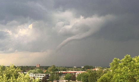
BREMER COUNTY, Iowa — A tornado was reported Tuesday evening northeast of central Iowa.
Emergency management reports the tornado briefly touched down in a field just west of the Waverly Municipal Airport at 6:45 p.m.
There were no reports of damage.
Damage reports across northern Iowa
Wind gusts up to 70 miles per hour were reported across the northern part of the state. Across Emmet County, hail nearly an inch in diameter fell.
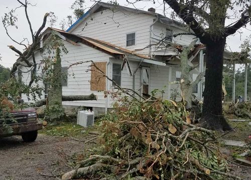
In Bremer and Greene counties, downed trees and power lines were reported across town. Nettie Payne shared photos with Channel 13 of storm damage in northern Iowa. She was at Lake Okoboji when the storm hit.
Big tree snapped in half. Our furniture on neighbors deck. Northeast tip of West Lake.
Big tree snapped in half. Our furniture on neighbors deck. Northeast tip of West Lake.
Large trees and power lines have been reported down in Greene County. Skid steers are out in Jefferson removing debris.
In Pocahontas County, a moderately-sized cattle shed was destroyed and tree branches were down around the homestead. A grain bin was blown about a half-mile into a nearby field. Another shed was badly damaged at a nearby homestead.
What’s next for central Iowa
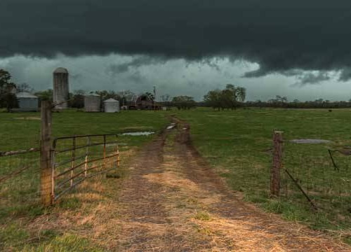
A severe thunderstorm watch remains in effect until 9 p.m. for west central Iowa.
Our meteorologists are tracking strong storms southwest of Perry moving east at 45 mph. Dime-sized hail and wind gusts up to 50 mph will be possible with this storm.
Download the 13WarnMe app for on-the-go weather updates
View all active alerts
A storm that’s producing small hail and gusty winds is moving into Dallas County. It’s moving east at 45 mph. pic.twitter.com/LXcdk9G2mi
— WHO-HD Weather (@WHOWeather) June 15, 2016