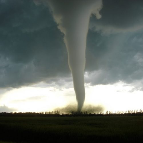
The National Weather Service in Cheyenne and Region 23 Emergency Management are still gathering information to determine the extent of damages associated with tornadoes that touched down in northern Sioux County Wednesday night.
While the NWS has only one confirmed tornado reported this morning, those who live in the area north of Harrison believe there were at least two or three.
Bryan Lang and his family watched the tornadoes as they drove away from their place.
“When it first started it was just kind of a typical thunderstorm it seemed like,” he said. He had horses on the trailer as the family was heading to Harrison to rope. As his wife Joleen, a doctor in Custer, S.D., arrived home she said there was a tornado right over the hill.
“Everybody jumped in the pickup and I watched it in the rearview mirror until we got to the ridge,” Lang said. “I think there were two, maybe, one right over the house and it looked like one to the east.”
They came home after roping and discovered tree damage around their home and a limb that shot through the cab of his tractor, shattering windows along the way.
“There’s just a lot of work that has to happen,” Lang said.
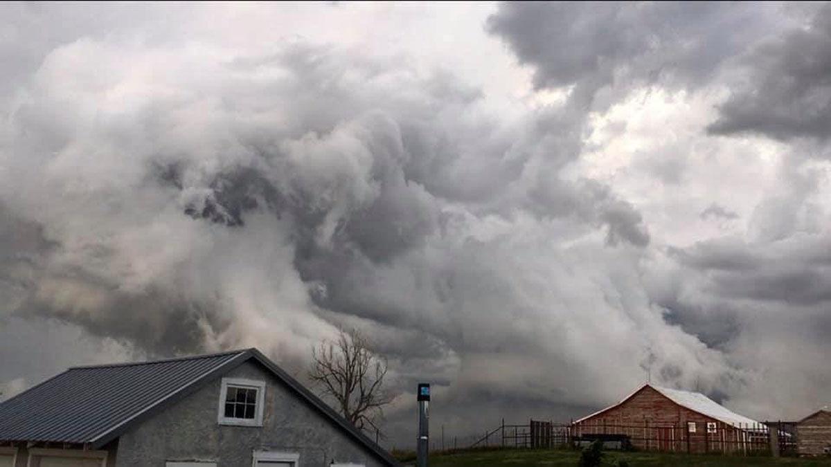
Harrison Fire Chief J.W. Geiser agreed with Lang that there were at least two, and possibly three tornadoes. The first was near the Wyoming line, prompting Geiser to head out on weather spotting duties near the Montrose Church. After watching the wall cloud for awhile he headed home, only to see the storm making another tornado and decided to return to Montrose.
Region 23 Emergency Management Director said downed trees have been the only reported damage so far.
Dawes, Sioux, Box Butte and Scotts Bluff counties were all under a severe thunderstorm watch starting at 2:50 p.m. Wednesday, and warnings of impending severe weather began to be issued at 4:30 and 5:06 p.m. in Niobrara County, Wyo., said NWS Meteorologist Jared Allen. The first severe thunderstorm warning for Sioux County was issued at 5:40 p.m., followed by a radar-indicated tornado warning at 6:06 p.m.
A confirmed tornado was spotted 22 miles northeast of Lusk, Wyo., followed by additional law enforcement reports of funnel clouds 18 miles northwest of Harrison at 6:18 p.m., Allen said. Two minutes later a funnel cloud was reported to drop down and lift back up, and by 6:25 p.m. a trained spotter was reporting a confirmed tornado 15 miles north of Harrison.
“From the issuing of the warning at 6:06 p.m. to the touchdown at 6:25 p.m., that led to about a 19-minute lead time,” Allen said.
No additional reports of funnel clouds or tornadoes came in after that, but the NWS did issue a second tornado warning for the area at 6:27 p.m. because the first was set to expire at 6:30. The agency also issued two additional severe thunderstorm warnings for northwest Nebraska as the system moved across the region.
Allen said hail of one inch and 1.25 inches, or up to a half-dollar size, was reported near Chadron State Park at both 7:35 and 7:40 p.m. Park Superintendent Greg Gailbraith said while there was some large hail, it did not do any damage at the park.
by Kerri Rempp (2019, July 18) Rapid City Journal