The National Weather Service offices in the Quad Cities and La Crosse, Wisconsin surveyed damage from Saturday’s storms and confirmed 4 tornadoes in the TV9 viewing area.
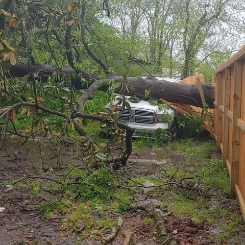
The first tornado happened in Fayette County, near Oelwein and was rated an EF-1, with estimated wind speeds of around 107 mph. Meteorologists that surveyed the damage said that the tornado was rain-wrapped when it formed near the Fayette County line, south of Oelwein. The tornado moved northeast to the west side of the city and cause damage to an apartment complex and trees. The tornado traveled 4 miles at around 6:30 p.m.
The second one was also located in Fayette County, near Maynard. This one was rated an EF-0, with estimated wind speeds around 83 mph and traveled 3.5 miles. This tornado formed from the same storm that produced the tornado in Oelwein at around 6:40 p.m. It caused damage to several farms in the area.
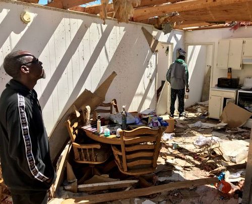
The next tornado formed in Dubuque County at around 8:25 p.m. This one was rated an EF-1, with estimated wind speeds around 110 mph and traveled for 4.2 miles. The tornado formed southeast of Sherrill and moved northeast causing significant damage to outbuildings and uprooted several trees.
They are still surveying damage in Buchanan County and have confirmed a tornado, but have not set a rating at this time or given any other information. There were also tornadoes reported in Black Hawk, but so far no information has been released.
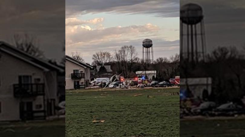
A tornado also formed in a fringe county of the TV9 viewing area at around 8:35 p.m. The National Weather Service has preliminary rated it an EF-1 tornado. This one happened in Grant County, Wisconsin. The tornado formed around 1 mile north of Potosi and traveled to 2 miles northwest of Ellenboro. There was damage to a house and multiple farm outbuildings.
by Kalie Pluchel (2020, Mar 29) KCRG