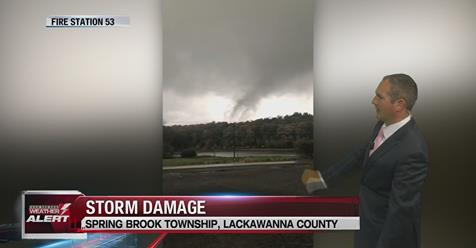
As many as five tornadoes may have been produced by a violent Thursday night storm that swept through southeastern Montana and northwestern South Dakota.
The National Weather Service in Billings and the National Weather Service in Rapid City, South Dakota, both released preliminary damage survey reports Friday.
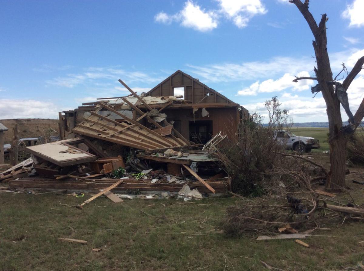
A tornado originating in Montana that crossed into South Dakota with wind speeds estimated at 136 mph is believed to have destroyed a home in South Dakota, according to the survey.
The survey indicates that for more than an hour Thursday night a “tornadic storm” produced at least two tornadoes and possibly up to five tornadoes “across Carter County, Montana, into Harding County, South Dakota.”
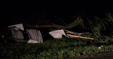
Officials said the tornado that apparently destroyed a home also destroyed a shed, toppled a trailer, moved heavy hay bales and damaged trees.
“The justification for the EF-3 rating is the way the trees were stripped down,” said Dan Borsum, an NWS Billings senior forecaster, referring to a tree that apparently lost its bark during the tornado. “They found a tree stripped down, they had a shed that was completely eliminated and it had some concrete anchors to support it.”
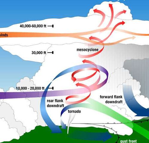
That damage is consistent with what forecasters would expect from a tornado rated EF-3. Tornado ratings are based on the Enhanced Fujita scale, which ranges from weak tornadoes of EF-0 category, all the way up to EF-5 tornadoes considered “violent.”
An EF-5 tornado can produce winds speeds in excess of 200 mph. EF-3 tornadoes range in wind speed from 136 mph to 165 mph.
Photos accompanying the survey locate the tornado damage south of Camp Crook, South Dakota, just across the Montana border.
The first tornado touched down in Carter County between Ridgeway and Albion near Highway 323 around 7:17 p.m.
“The tornadoes went through cycles of dissipating and redeveloping as the parent storm drifted northeast toward Capitol, Montana, before moving into South Dakota at around 8:20 p.m.,” according to the preliminary damage survey. “The tornadoes stayed mostly over rural areas, producing limited damage.”
Conditions for severe thunderstorms with tornadic potential aren’t unheard of in that part of Montana, Borsum said. He likened parts of Carter County and Harding to “not quite Oklahoma or Kansas,” but similar “to that part of the world.”
Forecasters honed in on dew points measured in Miles City and Baker at 70 degrees as one strong indication of tornado potential.
“The No. 1 thing that had our attention was the availability of low-level humidity for the storm,” Borsum said. “When you hear Southerners talk about sticky and miserable humidity, that’s the sort of values that you’re seeing.”
Looking at increasing wind speeds aloft and a cold front moving across Central Montana combined with the dew point measurements, forecasters saw a pattern that carries a strong tornado potential, Borsum said.
The preliminary damage survey notes that findings are preliminary and that information will not be finalized for several days.
by Mike Kordenbrock (2018, June 29) Billings Gazette