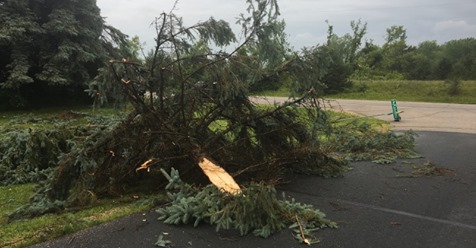
An EF0 tornado touched down in a cornfield north of Gray Summit early Monday morning, but was only on the ground for one minute and caused damage to some trees.
According to the National Weather Service (NWS) in St. Louis, the tornado touched down between 1:12 and 1:13 a.m. with a top wind speed of 75 mph and traveled .18 mile with a base 25 yards wide.
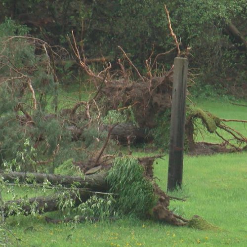
NWS reported a very weak tornado developed west of the intersection of Decker Road and Dusty Road north of Gray Summit, snapping several trees and crossing an open cornfield before lifting.
It was only on the ground for a total of one minute and traveled less than two-tenths of a mile, but the debris from the harvested cornfield was lofted nearly 4,300 feet in the air and detected by radar for 15 minutes after the tornado dissipated.
The tornado was rated EF0 on the Enhanced Fujita Scale.
There are three homes in the vicinity of the tornado’s path, but no damage or injuries have been reported.
At the time of the tornado there was a fast line of thunderstorms moving through the area, but there were no severe weather warnings issued. The storms did produce about an inch of rain.
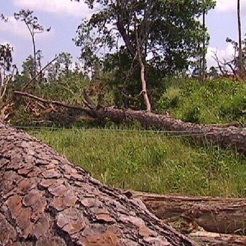
The last two tornadoes recorded in Franklin County were in 2013. The first was an EF1 on May 31, starting south of Union and finally dissipating near Moselle.
That tornado traveled 9.98 miles with a path of destruction 550 yards wide.
The other 2013 tornado touched down near St. Albans on April 10, and traveled 1.32 miles with a base 200 yards wide.
by emissourian.com
Jan 27, 2018