WHITE LAKE — Prepared for the worst, Aurora County’s emergency manager scattered his storm spotters and braced for what meteorologists predicted to be an intense summer storm.
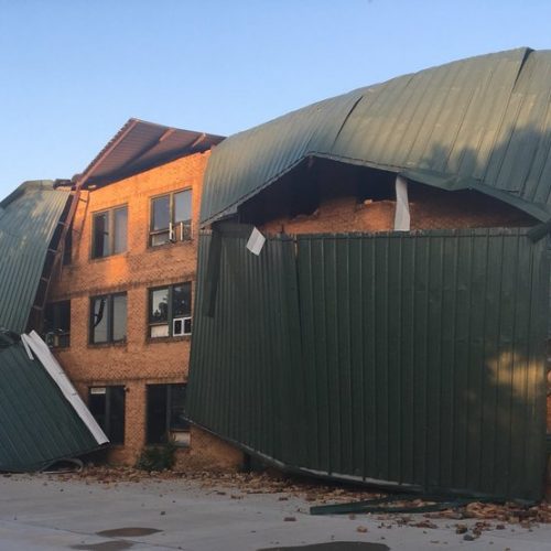
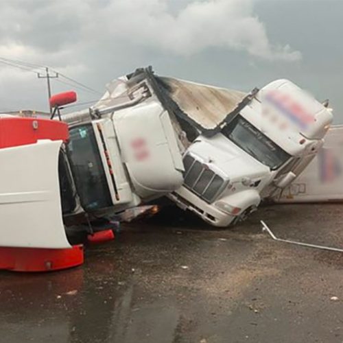
With two tornadoes and quarter-sized hail, the storm didn’t disappoint, but the aftermath was much less damaging than expected.
“It could have been a pretty heavy day here in Aurora County, and we feel lucky that what we had was just what we had,” said Aurora County Emergency Manager David Baker.
The National Weather Service (NWS) in Sioux Falls received reports of five reported tornadoes that swept through south-eastern South Dakota during a series of severe weather Tuesday, including two twisters near White Lake, but they caused minimal damage and no injuries.
According to Baker, both tornadoes touched down within about 20 miles of each other, but neither caused damage in the county.
“We’re fortunate all of them were out toward rural,” Baker said.
Baker said three storm cells passed through his county, and he praised his 22 volunteer storm spotters for their quick response.
“It was like, ‘Okey dokey. Where do I go now?’ ” Baker said. “I’m glad we do have the spotters that we do.”
Tornadoes were also reported near Mount Vernon, Herrick and Ravinia during a string of thunderstorms that left much of eastern South Dakota in tornado watches and warnings for most of Tuesday evening.
“It looked pretty nasty,” said Hanson County Sheriff Brandon Wingert, whose area received dime-sized hail. “But it turned out better than we originally thought it would.”
The reports began with a tornado that reportedly touched down approximately one to two miles northwest of Herrick, about 12 miles from the Nebraska border at approximately 3:45 p.m. According to NWS meteorologist Todd Heitkamp, there were no reports of damage.
The other reports followed throughout the afternoon, but local and county officials reported no damage or injuries.
“I heard the reports, too, but I didn’t see anything that looked like it did any damage to anything,” said Davison County Chief Deputy Steve Harr.
Mitchell received heavy rain, strong winds and pea-sized hail. National Weather Service recorded 0.32 inches of rain at the city’s weather station near the airport.
Farther north, the storm caused damage to power poles operated by NorthWestern Energy, which caused sporadic power outages from Aberdeen to Yankton, according to Tom Glanzer, spokesperson for NorthWestern Energy.
“Almost the whole James River Valley got it at some point today,” Glanzer said.
Glanzer estimated between 800 and 1,000 customers were impacted at some point during the storm, but power has been restored to nearly everyone. There are still confirmed outages near Clark, between Huron and Watertown, and Utica, near Yankton. Outages can be located with the “Outage Map” tool at NorthWesternEnergy.com.
The threat of a tornado hovered over much of the region throughout the evening for a couple hours, beginning with portions of Charles Mix County and Gregory County at 5:30 p.m.
Ping pong ball-sized hail was reported after 5:15 p.m.in Aurora, Brule, Charles Mix and Douglas counties, according to NWS, and the reports of hail followed the storm to the east.
For the next 90 minutes, NWS issued tornado warnings for numerous counties in the James River Valley, extending as far east as Miner County and threatening to produce hail of up to 2 inches.
During each of the warnings, NWS urged anyone in the area to take cover and move to a basement or interior room on the lowest floor of a sturdy building.
According to the Mitchell Department of Public Safety, the Davison County Courthouse, Ethan School and Mount Vernon downtown gym would be opened in the event of a tornado warning. At 6:11 p.m., DPS said the courthouse was open. Hail and thunder began in central Mitchell approximately 30 minutes later.
The tornado warnings expired by 6:45 p.m, although thunderstorm warnings remained in effect in a vertical line that moved east across the region.
As of about 9 p.m., the Sioux Falls area remained in a severe thunderstorm warning, and Mitchell was no longer in a tornado watch.
by Jake Shama
June 13, 2017