The Geostationary Lightning Mapper is a single-channel, near-infrared optical transient detector that can detect the momentary changes in an optical scene, indicating the presence of lightning. GLM will measure total lightning (in-cloud, cloud-to-cloud and cloud-to-ground) activity continuously over the Americas and adjacent ocean regions with near-uniform spatial resolution of approximately 10 km.
It will be the first operational lightning mapper flown in geostationary orbit.
GLM will collect information such as the frequency, location and extent of lightning discharges to identify intensifying thunderstorms and tropical cyclones. Trends in total lightning that will be available with the GLM have the promise of providing critical information to forecasters which will allow them to focus on developing severe storms much earlier than they can currently, and before these storms produce damaging winds, hail or even tornadoes.
Such storms exhibit a significant increase in total lightning activity, often many minutes before the radar detects the potential for severe weather. Used in combination with radar, satellite data, and surface observations, total lightning data from GLM has great potential to increase lead time for severe thunderstorm and tornado warnings and reduce false alarm rates. Knowledge of total lightning activity and its extent will help improve public safety. Data from the instrument will also be used to produce a long-term database to track decadal changes in lightning activity. This is important due to lightning’s role in maintaining the Earth-atmosphere electrical balance.
GLM MEASUREMENTS
GLM measurements can provide vital information to help the operational weather, aviation, disaster preparedness, and fire communities in a number of areas:
1) Improvement in tornado and severe thunderstorm lead times and false alarm reduction
2) Early warning of lightning ground strike hazards
3) Advancements in the initialization of numerical weather prediction models through better identification of deep
convection
4) Improved routing of commercial, military, and private aircraft over oceanic regions where observations of thunderstorm intensity are scarce
5) Improved ability to monitor intensification or decay of storms during radar outages, or where radar coverage is poor or scarce, such as in mountainous areas and oceanic regions
6) Better detection and short range forecasts of heavy rainfall and flash flooding
7) Ability to monitor the intensity change of tropical cyclones, which is often accompanied by increased lightning activity
8) Continuity and refinements of lightning climatology within the GOES field of view
By GOES-R
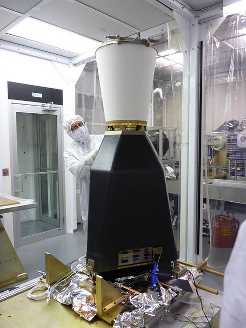
Photo by GLM