The record-setting warmth of the past couple of days isn’t just a welcome departure from what can so often occur in Kansas in mid-February, weather officials say.
It may also be signaling what is shaping up to be an early start to severe weather season in Tornado Alley.
In its spring weather outlook released last week, AccuWeather predicted “explosive” severe weather for the Great Plains because the dominant weather pattern of the winter appears poised to linger into the spring.
Wave after wave of storms have been soaking California, and as those storms move east, they’ll be interacting with increasingly warm, moist air coming from the Gulf of Mexico.
“We’re just seeing this warmth expanding quite a bit into the middle of the central and southern Plains,” said John Gresiak, a senior forecaster for AccuWeather. “Also, we’re seeing this fairly persistent train of storms from the Pacific.”
The warmth is reflected in the record-setting temperatures Friday across parts of the nation’s midsection. Denver set a record February high, reaching 80 degrees.
Dodge City climbed to 87, shattering the record for Feb. 10 by 7 degrees, which was set in 1999. It was the second-warmest February day on record in Dodge City.
A few miles west, in Garden City, it also reached 87, toppling the 79 degrees from 1999 and earning the third-highest February temperature in the city.
Hugoton, in extreme southwest Kansas, soared to 93, while nearby Liberal reached 90.
Great Bend, in central Kansas, climbed to 85, while Russell climbed to 84 and set a record for the date. Salina’s 76 matched the record high from 1951.
In its spring outlook, AccuWeather cautioned that severe weather season in the Great Plains could start in March, so residents of Tornado Alley should review their shelter plans and emergency kits early.
Chance Hayes, warning coordination meteorologist for the Wichita branch of the National Weather Service, said in a storm spotter class for members of the media that tornadoes have occurred somewhere in Kansas all 12 months of the year, so tornadoes in February are entirely possible if the right ingredients are in place.
Storm spotter training classes began last week across southeast Kansas and will continue into April.
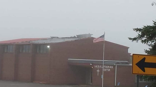
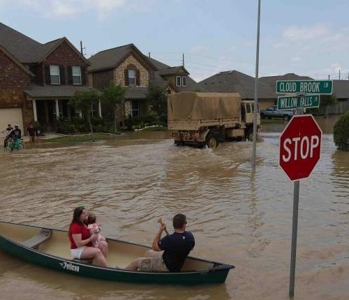
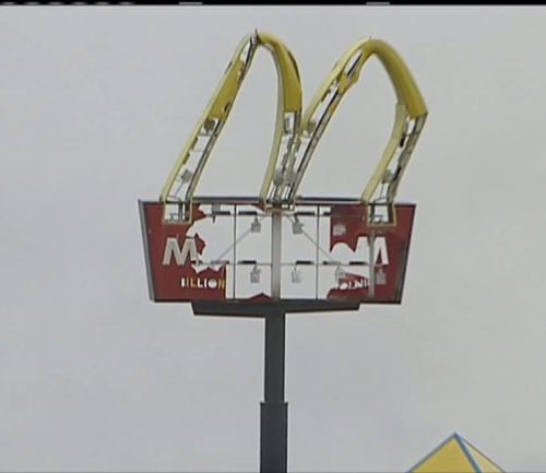
Records show there have been 26 February tornadoes in Kansas since reliable records began being kept in 1950. The most recent occurred late on the night of Feb. 28, 2012, when an EF2 tornado struck shortly after 10 p.m. and killed one person and injured 11 others in Harveyville, southwest of Topeka.
“It was a rain-wrapped tornado at night,” Chad Omitt, meteorologist-in-charge of the Topeka branch of the National Weather Service, said afterward. “Nobody would have seen it.”
It was one of eight tornadoes reported that day across Kansas.
Current weather patterns “would favor an active severe weather season, although the jet (stream) may be far enough south to keep the severe weather threat south of Kansas for a while,” Larry Ruthi, meteorologist-in-charge of the Dodge City branch of the National Weather Service, said in an e-mail response to questions.
The Climate Prediction Center is projecting above-normal temperatures for Kansas and average precipitation in March, April and May. But Jim Caruso, a meteorologist with the Wichita branch of the weather service, cautioned against reading too much into those projections.
“We’re just not there yet (in being able to predict) whether it’s going to be above normal or not for tornado activity” in any given spring, he said.
Cooler weather returns to the area this week, though more temps in the 60s are projected to arrive late in the week.
by Stan Finger
FEBRUARY 12, 2017 8:02 PM